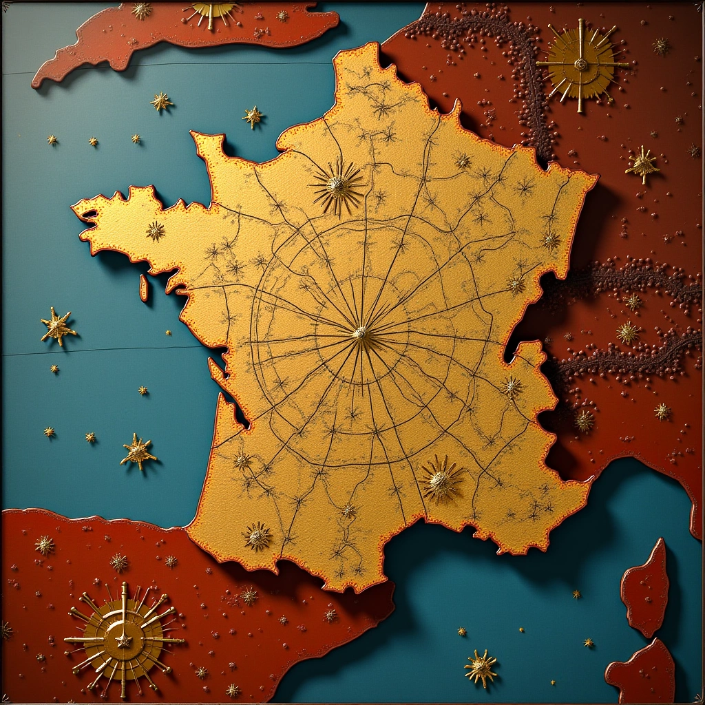
Imagine embarking on a project so grand that it takes not just years, but generations to complete. Well, that’s exactly what the Cassini family did—over 100 years, no less! They weren’t just doodling on a napkin; they were crafting the first scientifically accurate map of France under the watchful eye of King Louis XVI. Talk about family bonding, right?
So, let’s roll back to the 1700s, when powdered wigs were all the rage, and the French were busy perfecting their pastry skills. Enter Giovanni Domenico Cassini, a man with a penchant for precision and a flair for the dramatic. This guy didn’t just want to draw pretty lines on a piece of paper; he wanted to create something that would stand the test of time (and the test of bad weather, cartographic errors, and royal whims).
Now, here’s where it gets interesting. Giovanni wasn’t just a lone wolf; he had a whole family of cartographers working alongside him. That’s right! It wasn’t just “Dad, can you help me with my homework?” It was more like “Dad, can you help me map an entire nation?” Talk about raising the bar for family projects! Over four generations, the Cassinis meticulously gathered data from all corners of France, using everything from astronomy to triangulation. If only they had Google Maps, right?
As the Cassini dynasty continued, the tools got more sophisticated, but the dedication never wavered. Imagine the drama—cousins arguing over the best route to draw a river or siblings debating the height of a mountain. And all this while they were under the somewhat taxing pressure of a king who probably wanted the map ready yesterday.
Now, let’s not gloss over the fact that they had to deal with the quirks of King Louis XVI himself. One moment he’s complimenting the work, and the next, he’s demanding to know why his favorite lake isn’t marked in a particular shade of blue. Yet, somehow, the Cassinis managed to keep their cool and deliver a masterpiece that not only impressed the king but also laid the groundwork for modern cartography.
But wait, there’s more! The Cassini map wasn’t just a pretty picture; it was a scientific triumph. It was groundbreaking enough to have people saying, “Wow, this is way better than that crumpled map of France I found in my grandmother’s attic!” The precision and detail were so revolutionary that other countries started to take notice. Suddenly, every aspiring cartographer was thinking, “If the Cassinis can do it, so can I!”
In conclusion, the Cassini family didn’t just create a map; they created a legacy. Over 100 years and four generations of hard work, they transformed cartography from guesswork into a science. Their journey is a testament to what can be achieved with a little determination, a lot of family teamwork, and perhaps a sprinkle of royal pressure. So next time you pull up a map, remember the Cassinis and their epic quest to map an entire nation. And maybe, just maybe, consider taking your own family on a little adventure—just, you know, not a 100-year-long one!