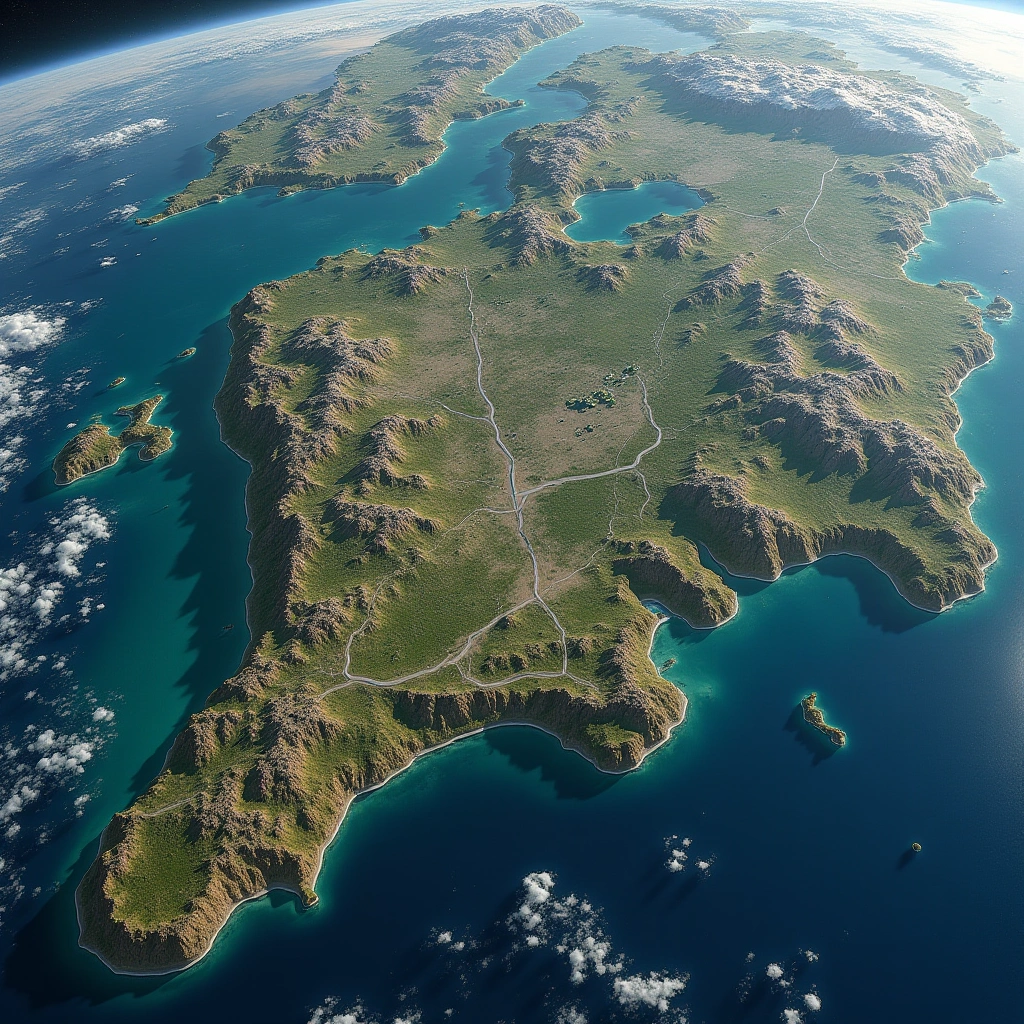
Ah, Google Earth. The tool that lets us explore our planet from the comfort of our couch—because who needs to actually travel when you can zoom in on your neighbor’s backyard? But wait, there’s a new twist in this digital adventure: Google Earth has introduced an AI feature that allows users to create their own satellite images. Yes, you heard that right! Now, not only can you see the world from above, but you can also make it look however you want. And, spoiler alert: it’s not always pretty.
On Thursday, Google introduced a new AI feature into Google Earth which lets anyone fabricate all sorts of misleading or straight up inaccurate satellite imagery, from making it look like a specific place has suffered a drone strike to manifesting …
One OSINT (Open Source Intelligence) researcher decided to test this new feature, and let’s just say their results were…creative. They claimed to have placed refugees near the Mexican border, a nuclear power plant in Iran, and even staged a fatal crash on a street in Amsterdam. Because who doesn’t want to stir the pot with some fictional disasters?
Now, before you get too excited about becoming the next big satellite image artist, let’s unpack this a bit. First off, the potential for misinformation is massive. With just a few clicks, anyone can create a convincing image that could spread like wildfire across social media. Imagine the chaos if someone decided to use this tool for nefarious purposes. It’s like giving a toddler a box of crayons and telling them to decorate the walls—except the walls are global geopolitics.
Let’s not ignore the sheer absurdity of it all. I mean, who wakes up in the morning and thinks, “You know what would be fun? Creating a fake nuclear plant!” It’s like a twisted version of Sims where you’re not just building houses but also making sure to add a side of international tension. But hey, at least the AI doesn’t judge your artistic choices, right?
Of course, Google has put some safeguards in place, because they’re not entirely crazy. There are limitations on what users can do, but as we all know, where there’s a will (and a questionable moral compass), there’s a way. This new feature raises some significant ethical questions about the responsibility of tech companies in curbing the spread of misinformation. If anyone can fabricate satellite images, how do we know what’s real and what’s just a really bad Photoshop job?
In a world already drowning in misinformation, this new feature may just add another layer of confusion. It’s like trying to find a needle in a haystack—but the haystack is now made of fake news and cleverly edited satellite images. So, while you might be tempted to jump on the Google Earth AI bandwagon for a bit of fun, remember: with great power comes great responsibility. Or at least, it should.
In the end, Google Earth’s AI feature may be the coolest thing since sliced bread—or the beginning of a digital apocalypse, depending on how you look at it. Just keep your eyes peeled and your critical thinking cap on. Who knows what you might stumble upon next? Or worse, what you might inadvertently create!
Inspired by: “Google Earth’s new AI feature lets anyone fabricate completely bullshit satellite images — ‘I put r…” (r/technology)