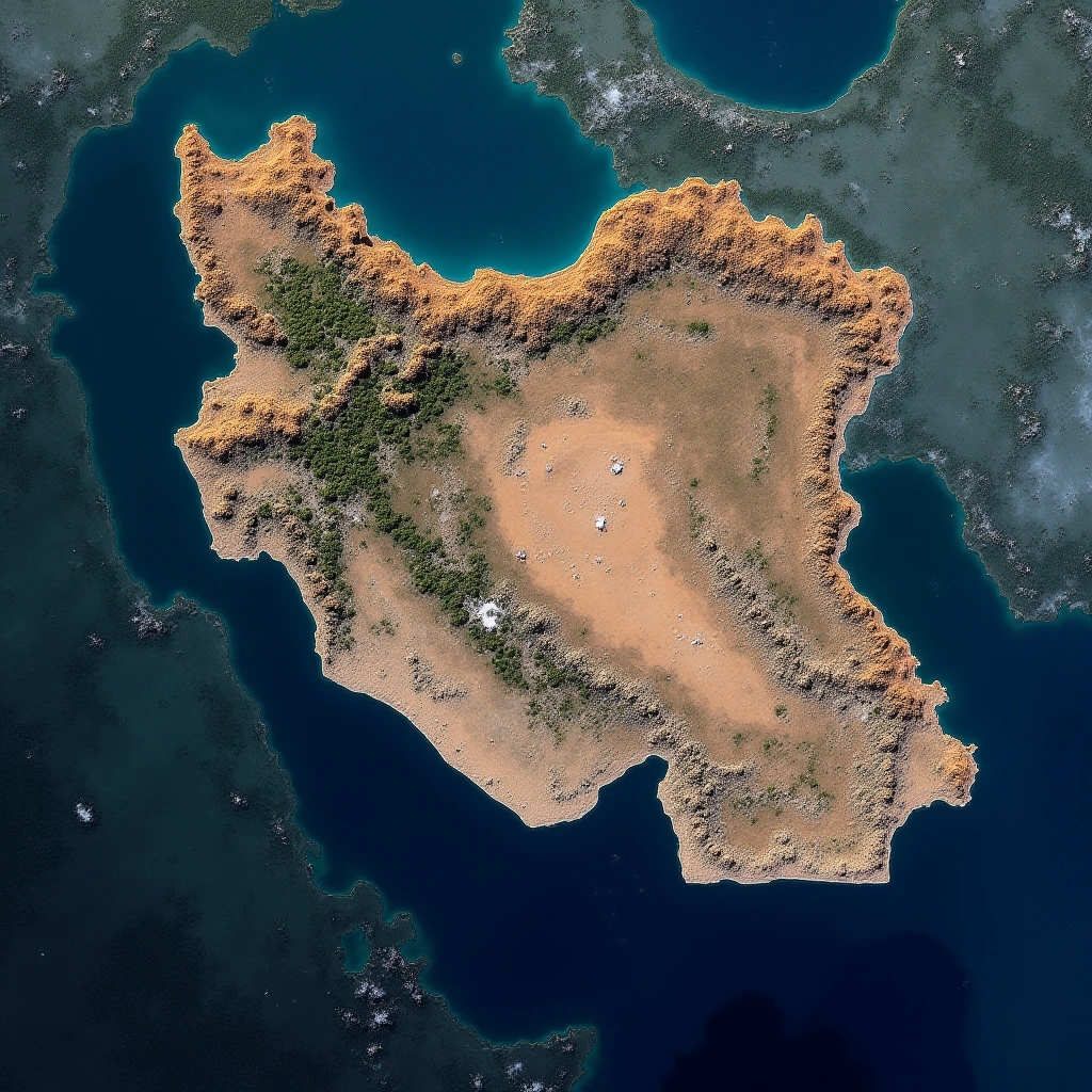
So here we are, folks. The European Union has decided to grant the United States’ request to restrict satellite imagery of the war-torn region in Iran. Yes, you heard it right! In a world where we can see our neighbor’s cat on a live stream, suddenly we can’t get a good look at one of the most contentious areas on the planet. What gives?
BRUSSELS — The European Union has agreed to delay the release of its Copernicus satellite images over the Gulf by 24 hours, following a U.S. request aimed at controlling how quickly battlefield-related imagery reaches the public.
Let’s break it down. The U.S. has ramped up its military activities in the region again, which, let’s be honest, is not exactly a shocking plot twist. And with that comes the need for a bit of a privacy curtain. You see, satellite images can be a bit of a double-edged sword. They can provide critical information, but they can also give away military strategies faster than a toddler can spill juice on a white carpet.
The Copernicus satellite program, which is an initiative by the EU to provide Earth observation data, has been a key player in monitoring various regions around the globe, including Iran. But now, it seems that the U.S. has thrown a bit of a wrench in the works. With the EU’s compliance, we are looking at a significant delay in the availability of satellite images from this program.
You might be wondering, why should we care? Well, for starters, this decision could have implications for transparency and accountability in military operations. When satellite images are available, it allows for some level of oversight. But with the U.S. controlling access to these images, it could lead to a whole new level of opacity. It’s like having a neighbor with a really tall fence—sure, it’s great for their privacy, but what about all the stuff happening on the other side?
Now, let’s talk about the timing. The U.S. is back to flexing its military muscles in the Middle East, and this satellite restriction is just one piece of the puzzle. It raises questions about the balance of power and the role of international organizations like the EU. Are they just going to follow the lead of the U.S. every time? It feels a bit like watching a game of chess where one player keeps moving all the pieces and the other just nods along, hoping nobody notices.
As for Iran, this could be a double whammy. Not only are they dealing with the fallout from increased military presence, but now they’re also facing a blackout of satellite imagery. This could hinder their ability to communicate with the outside world about what’s really happening within their borders—unless, of course, they have a secret stash of carrier pigeons.
In conclusion, while the EU’s decision may seem like a sensible move from a military standpoint, it raises more questions than it answers. Are we sacrificing transparency for security? Is the EU simply a sidekick to U.S. foreign policy? And most importantly, what’s next? Will we start asking for permission to take pictures of our own backyards?
Stay tuned, folks! This saga is far from over, and as always, the world of geopolitics is as unpredictable as a cat on a Roomba.
Inspired by: “European Union grants U.S request to restrict satellite images of Iran War region | New delay on Co…” (r/technology)